Approach roads
One approach road to Teide can stay open when another is restricted. Identify the road you plan to use and where it reaches the highlands. The four approaches reach different parts of the caldera. The park’s access notices show where restrictions begin on each road. A reopening bulletin can name individual sections. For a loop across the caldera, both the entry and exit road need to be open. An old notice with a publication date is evidence of a past event only.
| Item | Published information |
|---|---|
| Mountain forecast1 | Park weather page and forecast links |
| Trail and road notices2 | Official park incidents |
| Lift status3 | Operator service bulletin |
| Published last down ride, 25 October to 31 December 20264 | 16:50 if operating |
Road, trail and lift closures
- Road access. The park incident notices identify closed stretches and any restrictions on the way down.
- Lift and trails. The operator posts current cabin service, and the park identifies restrictions by trail number.
- Switch to the right fallback. Move to open road-level stops if the roads allow. If access is blocked, make a lower-altitude plan.
Look at the time and expected spread of the weather. A road open on the way up can close later if weather or traffic conditions change. A large change in conditions can also bring extra traffic into the park. A notice can restrict private cars, buses or parking separately, so the wording matters for the way you travelled. If staff or police have closed a section, follow their directions and wait for an official update before proceeding.
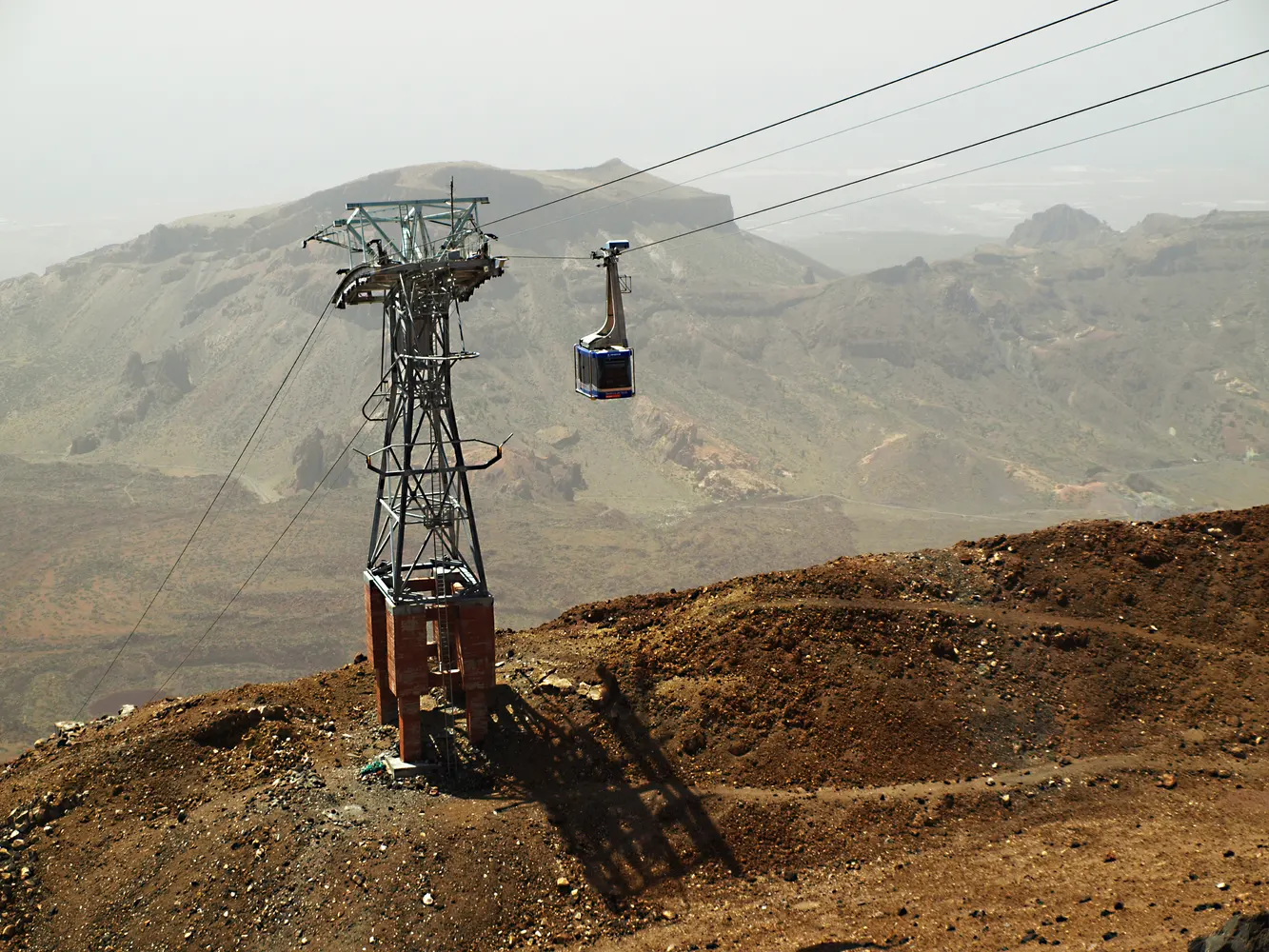
Current cable car status
The cable car service bulletin reports current operation. If service stops near your scheduled ride, changes to your ticket come from the seller who issued it. The timetable lists the normal hours for the season. During a suspension, use the service bulletin for updates on reopening. Avoid filling a possible delay with a drive to a far side of the park if you still want to board. The seller uses the contact details on your reservation to send changes to the time or date.
The cable car refund page explains the choices for a standalone date cancelled by the operator. A guided package may send a separate notice with modified transport or stops. If you paid for the group, forward the notice to anyone meeting you in the park.
Which trail is open?
Look at the route number. PNT 10 begins near the top of the cable car. PNT 07 is the long approach from Montaña Blanca. PNT 09 goes through a different part of the mountain, and the short Pico Viejo viewpoint has a different number again. An alert may close one segment, restrict the time, or require specific equipment. Match the notice against each part of your ascent and descent. A booking can remain in your wallet when a route is unsuitable. Use the status alongside the permit and turn around if the conditions or directions on site require it.
Watch for overnight changes during a cold spell. The lower track can clear before upper rock or shaded sections. Consult the winter guide before taking ordinary shoes from your coastal luggage into a route with an active equipment rule. If the stated rule or the current ground is beyond your experience, switch to a visit at caldera level.
Alternatives during closures
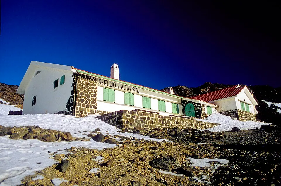
With an open road and poor conditions only at the lift, use the park without the cable car. Roques, a signed viewpoint and a visitor centre can fill the day in the basin. With disruption that affects roads or car parks, choose an outing below the zone affected by the bulletin. The Telesforo Bravo centre in La Orotava can give some context for the mountain while you are still on the valley side if it is open. Arrange a later attempt only if time and tickets make it feasible.
If the lift stops while people are visiting La Rambleta, the operator can manage the response from the station. Stay where instructed. The ability to see a route on the map does not identify the safe, open and authorised way down. If your group has split, pass on the staff instructions and agree where to meet again.
Closure dates and locations
The park’s incident bulletin may identify a closure by the nearest junction. Match the named road and junctions with the points where you expect to join or leave it. If part of the north approach is closed, you can still reach an open lower viewpoint on that road before the published closure begins. A route app may preserve the old travel time or propose a long detour. The same road bulletin shows whether the replacement route is open all the way into the park. When a road reopens after snow clearance, the notice and signs can still restrict stopping in roadside parking areas.
On a trail notice, look for the number as well as the endpoint. An update for PNT 10 at the summit does not convey the state of the other paths around La Rambleta. A booking reference shows that you hold an entitlement for a window if access is operating. Keep it if you need to contact the park or the seller, but use the current closure announcement at the trail. Do the same for the upper walk after a winter storm. The visible white ground from a roadside stop may be distant from the slippery patches on the path you intend to use.
Updates on the mountain
Save the day’s notices and directions while you have a connection. If a service interruption begins after you reach the upper station, use the staff’s instructions about waiting and safe descent. Groups with a medical or mobility concern should tell staff early. Never follow another visitor onto an uncertain or closed descent because a cabin is delayed. The winter guide covers a lower-altitude plan for dates when the upper mountain requires different equipment. When the problem affects only the ticket, use your confirmation to see the actual notification and refund or rescheduling terms.