Trailheads and transport
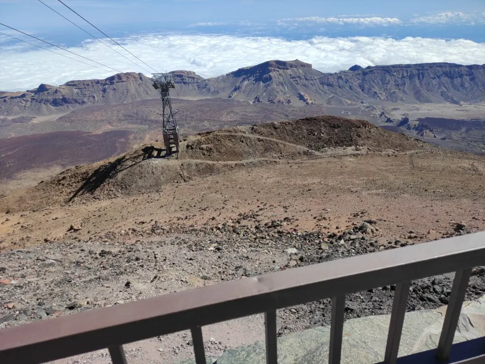
PNT 09 leads between the high area at La Rambleta and the roadside viewpoint at Narices del Teide. The route descends into the western volcanic ground beyond the short lookout. Ascending it reverses the transport arrangement and changes the scale of the effort. Use the park route sheet for its exposed ground, lava and junctions. If your group has one vehicle, agree where to leave it and how you will return to it from the other trailhead. TF-38 is a different road from the turn to the cable car.
| Item | Published information |
|---|---|
| PNT 09 route1 | ~9.3 km, ~8 hours, extreme difficulty |
| PNT 09 ends1 | La Rambleta and Mirador de las Narices del Teide on TF-38 |
| Long route authorisation2 | Check PNT 09 separately |
| Short lookout3 | PNT 12, 731 m in the national parks guide |
Plan your trail exit
- Choose your finish first. Arrange the collection from the west road if you plan to traverse.
- Match the approach paperwork. A downhill traverse starts at La Rambleta. You reach it by lift or by walking an open approach route.
- Keep a separate short visit in mind. Use the PNT 12 viewpoint only if you want the view with a return to the lift.
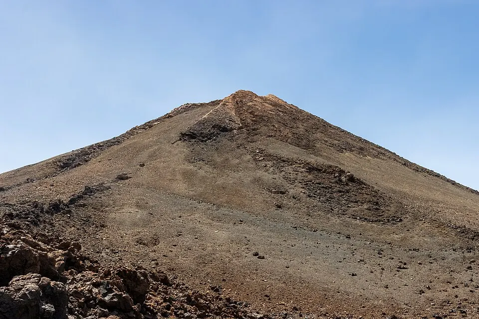
The short lookout near the lift gives you a view of the crater. That path returns to La Rambleta. The continuation across volcanic terrain requires its own authorised route, gear and enough time to finish, with a substantially different distance. If the aim is to see the crater and return to a timed ride, PNT 12 is the outing that fits.
Starting high or starting low
Starting at La Rambleta requires a working lift or a full approach on foot. The cable car is the lift approach to La Rambleta. Road access ends at the base station, and the operator publishes current service separately. If you arrive from Montaña Blanca, the ascent adds PNT 07 and its reservation to the PNT 09 traverse. Adding a summit reservation then adds another walk and a separate access window. Check that you can finish both climbs and reach your way down in time.
Starting from TF-38 avoids relying on an up ride but puts the long climb ahead of you. Check whether you can return the way you intended once you reach the top. The lift has scheduled times and weather limits. Access for the high routes can change at the same time for different reasons. Recheck restrictions for both ends on the day before setting out.
Collection, route signs and weather
Use the west-road approach to identify the proper trailhead and a lawful collection point. The driver should have the name in Spanish as well as the route number. If you finish after the agreed time, plan how to communicate without depending on coverage in every part of the mountain. Download the approved path and turn back if progress or the ground means the finish no longer looks feasible.
A route marked extreme is an undertaking even if conditions are clear below it. Rough rocks and steep grades affect movement on descent. In winter, a clear approach road and an icy trail can occur together. The park lists required gear and restrictions by trail. Upper sections can hold ice after lower stretches become easier to walk. Keep a short high lookout or a road-level walk as a separate outing you can take on a day when the long route is unsuitable.
The traverse and its trailheads
The national park’s naming distinguishes a lookout close to the lift from the long PNT 09 route towards the west. Read the published start and finish together. The upper start is by the trails of La Rambleta. The lower end is by the Mirador de las Narices del Teide area on TF-38. Picking an exit farther from your accommodation affects how you can get back as much as it affects the hike itself. The road on the map is the place to arrange a driver or vehicle. Do not use the road distance as an assumed foot connection back to TF-21.
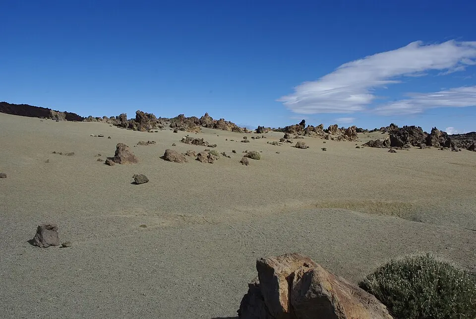
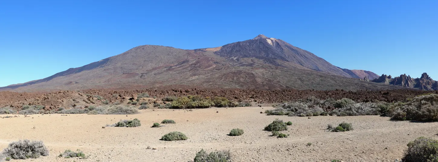
High on the route you can see the sides of Pico Viejo and views back towards the upper mountain. The trail continues over rocky terrain towards different volcanic deposits and the west side of the park. The official time describes the route as a whole, including difficult ground. It is a poor measure of what remains if you have already spent part of the day climbing to La Rambleta. Carry the time, supplies and appropriate equipment for the actual combined trip. A long descent on uneven ground can still call for several hours of steady work.
Pickup on the western road
Share the signed exit with the person collecting you. A driver using only the words Pico Viejo may end up at a viewpoint with a similar label but a different access road. Exchange both the name and its location, and say whether you intend to come out at the highway or at a lay-by reached from it. Bring warm clothing for waiting on the upper road. If you cannot count on phone reception near the walk, agree what the driver should do if you’re late or have turned back.
If your day begins at Montaña Blanca, the car at the trailhead is still there after a Pico Viejo descent. It is in a different part of the park. Sort out the transfer in both directions before the hike, particularly for a group sharing one car. If you want a simpler meeting point, consider a route returning to the same signed trailhead. Leave the long traverse for another day when an appropriate driver, guide or confirmed plan is available.
When to change plans
Do not make Pico Viejo your improvisation when the lift closes. Have the legal access, route map, current conditions and exit arrangement in advance. Compare the forecast and the park notices for the actual route number, including any announced gear requirements. If you are already reliant on the cable car to get up to La Rambleta, check the lift before leaving home and again when you approach the park. Plan what you will do below if it cannot run, without treating the traverse as another easy way to reach the same view.