01
Caldera day tour without lift
Caldera day tour without lift
Pickup options cover the north, south and metropolitan area. This trip stays at road level.
From $57Read more
See dates and availability→Before you go
See Las Cañadas, Roques de García and the volcanic basin
These guided park trips stay at road level. Choose a coast for pickup or a longer outing around Tenerife.
We may earn a commission if you book through these links, at no extra cost to you.
01
Caldera day tour without lift
Pickup options cover the north, south and metropolitan area. This trip stays at road level.
From $57Read more
See dates and availability→02
South Tenerife park minivan
The itinerary passes volcanic country, including the Pico Viejo lava field, and stays below the cable car.
From $77Read more
See dates and availability→03
Teide and Masca from Puerto
The tour is a road itinerary. Allow the full day for its other Tenerife stops.
From $95Read more
See dates and availability→04
Teide, Roques and north Tenerife
The outing covers several parts of Tenerife in a day. Choose a shorter park tour for more flexibility.
From $64Read more
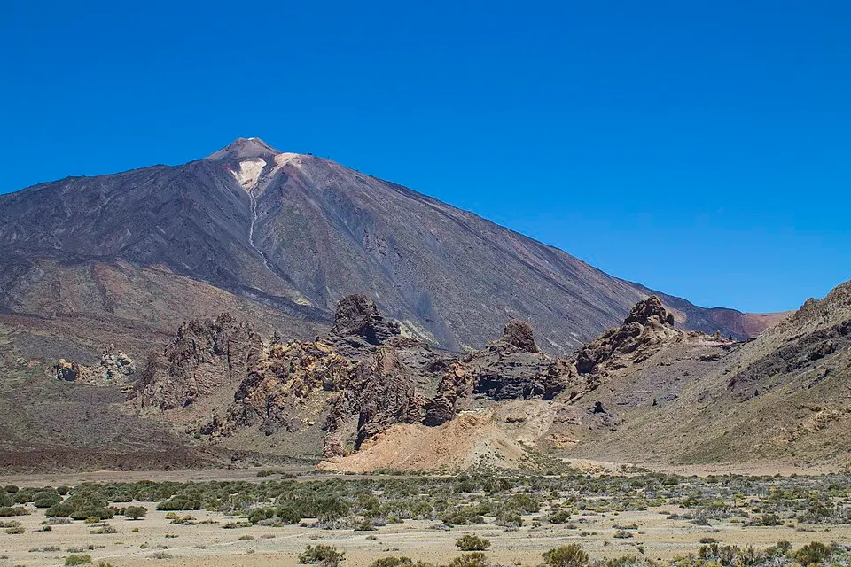
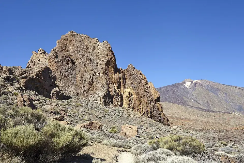
See dates and availability→From La Ruleta you can look along a chain of rock formations towards Teide’s cone. From the low ground below them, the same rocks break the skyline. The full Roques de García loop goes out along those formations, then drops and climbs back. An out-and-back towards the formations can be the better choice for a short visit, especially if the people in your party want different amounts of walking. At the viewpoint you can agree where to meet while others take the longer trail.
| Item | Published information |
|---|---|
| Park access1 | Free at ordinary road-level stops |
| Roques de García PNT 032≠ | 3.6 km by the park, 3.5 km by Tenerife tourism |
| Roques loop time3 | Approximately 2 hours |
| Park visitor centres4 | El Portillo, Cañada Blanca and Telesforo Bravo |
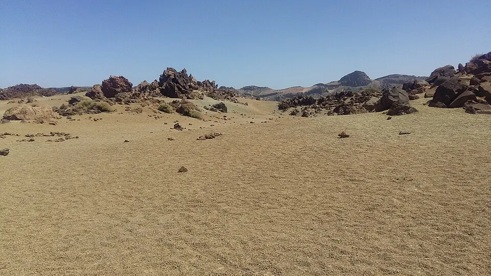
The park’s signed viewpoints let you see changes in the geology without going far from a vehicle. Llano de Ucanca gives you a longer view across the open basin and up to its walls. The change from the view at Roques is as much about looking from lower ground as it is about seeing a new place. At Minas de San José, patches of pale volcanic ground stand out against darker rock. Stay within marked areas and use the public stopping points, since the road has through traffic and not every wide-looking stretch is a place to park.
A visitor entering by the TF-24 can stop around El Portillo before doing the caldera sights. Someone coming up through Vilaflor will come into the basin from the other side. If you are returning to the same coast, take your longer walk before you begin wondering how long the drive back will take. Reserve nearby road-level stops for later. If you are crossing to a different coast, think of each stop in road order. Where your group stops for food and toilets can also decide where a loop makes sense.
A public bus ride belongs to a different itinerary. Pick your main stop from the timetable and use walks that start and finish there. A tour with a driver can answer a different need: enough stops without having to find each car park yourself. Check the route in the listing and ask whether it stops at the sites you care about. The fact that a route drives past both Roques and the cable car does not say how long it spends at either place.
The park visitor centres can help you understand what you are seeing outside. Visit Cañada Blanca near the Parador for a short walk from exhibits to the Roques area. El Portillo is useful near the north and ridge entrances. The Telesforo Bravo centre in La Orotava fits a different part of the drive. It makes sense before or after using that side of the island. Check the site’s opening list and remember that a centre may close before you start back down.
Keep a backup for closed facilities. Bring the food and water you need for the visit and choose an outdoor stop you can reach without depending on the building. If you need a reliably usable surface, check the access guide for the named section you plan to walk. The full Roques loop has a separate route description. Travel with children can work well at the short stops. Use the family guide to compare the ground, weather and ticket restrictions before adding a ride or observatory visit.
Use the one-day plan to decide whether you want to walk the Roques loop or give more time to multiple viewpoints. Doing both with a long drive is possible if the roads are open and the group is moving comfortably. On a shorter visit, take time at one place with a broad view and one where you can see the volcanic deposits close at hand. You will see the colour and shapes change even though both stops occupy the same national park. Give yourself enough time away from the vehicle to see that difference.
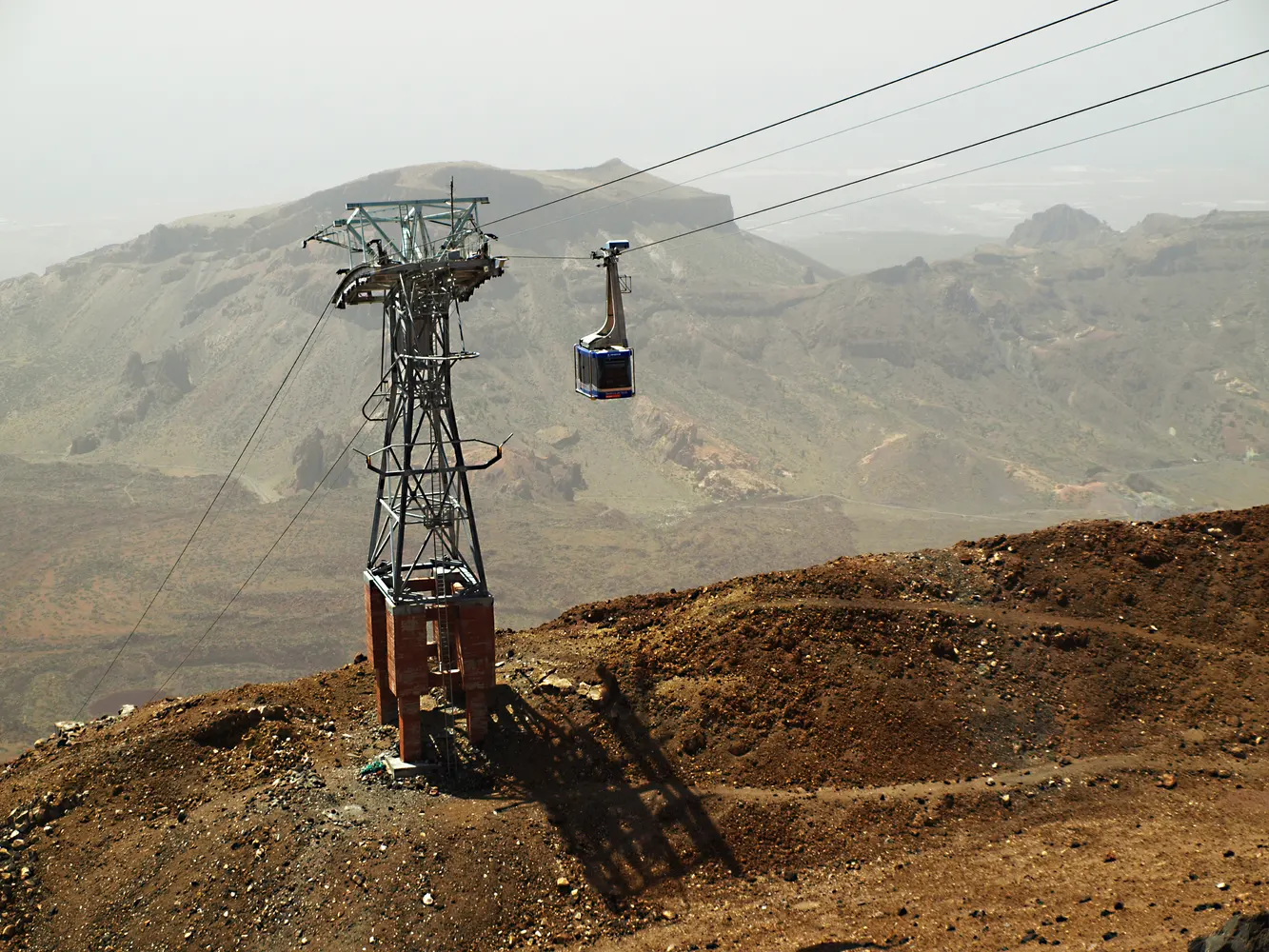
Wind can stop the lift while the park below stays open. Snow events can affect approach roads and safe parking as well. Follow the park bulletins and choose stops from the currently open area. An itinerary that matches the day’s restrictions is better than driving up with only a list of place names. Carry a layer for the open ground and take any litter out with you.
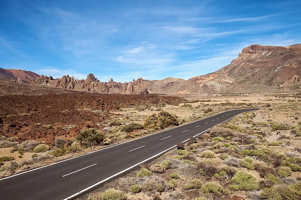
If you start near El Portillo, the interpretation centre gives you a starting point for the rocks and plants. The route across the basin brings you past the light ground around Minas de San José. Near the south side of the caldera, La Ruleta and the line of Roques give a view with close foreground. The visitor centre choices give you a way to keep a stop indoors if wind or sun makes the walk a shorter one. Coming from the west, the direct approach via Boca Tauce makes Juan Évora an easy first option before the centre of Las Cañadas.
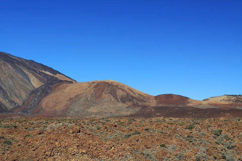
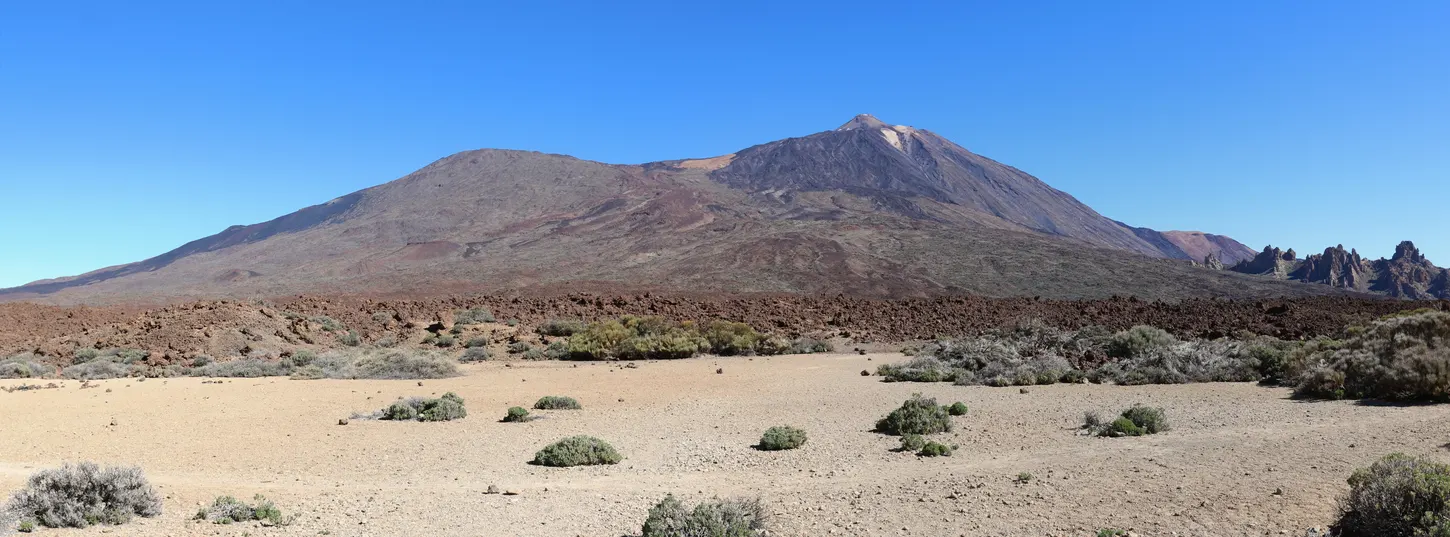
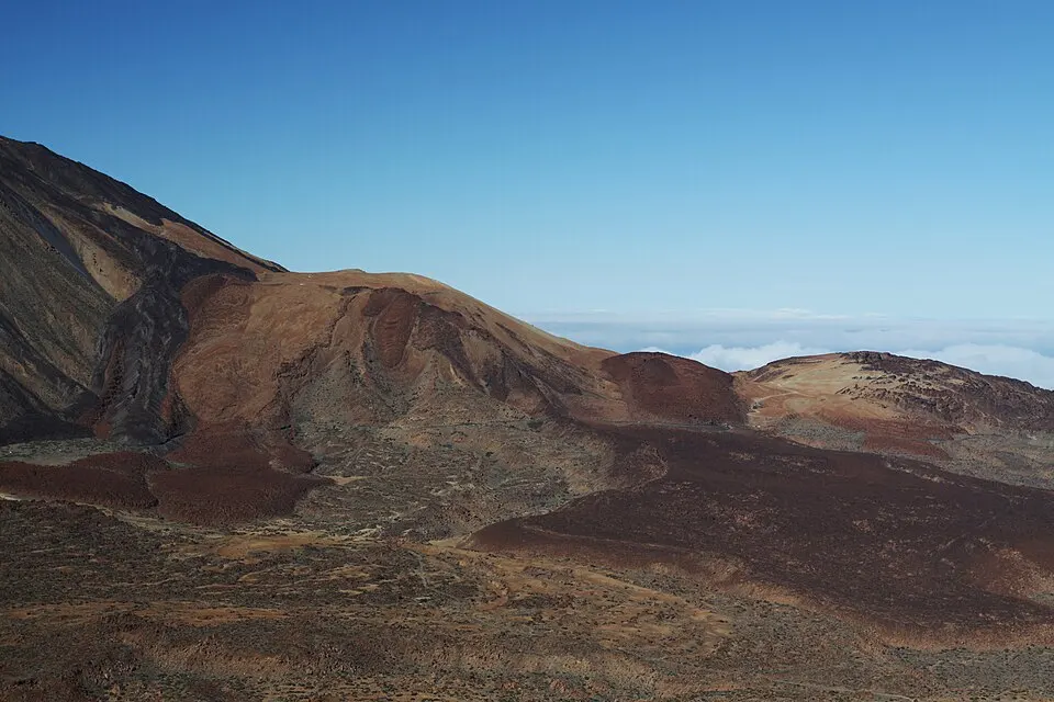
From the westward viewpoints, Pico Viejo and the spread of dark lava provide a different view from the lighter deposits. The park’s official lookout descriptions point out the 1798 Narices del Teide eruption, the most recent within the current park boundary. Look across the basin at Llano de Ucanca to see the wide flat ground edged by lava and rock. A clear day gives you a better view from farther back. If a pull-off is full, continue to a marked lot where there is room for people getting out.
A party that wants photographs and a short walk can stay in the La Ruleta area. The signed accessible stretch goes towards the main rock line, with a return along the same section. If the whole party wants the longer circuit, use the official PNT 03 route description and include the descent and the final climb in the time available. Hiking shoes help on loose ground. Choose the shorter stretch in a strong wind or if the group has less daylight than it expected.
For a trip with someone who wants to rest, agree on one base near an open visitor centre, a designated lot or an overlook that makes sense for a shared vehicle. Decide which travellers will use the short path, who will stay near the road and set a time to meet again. Some spots are spread over both sides of TF-21, so look for the designated way between them. If clouds hide the summit, use the lookout guide to find a view in another direction or learn about the surrounding caldera at a visitor centre.
Good to know
Yes, if roads and the stops you want are open. Roques and the other viewpoints stand at road level.
No. Signed viewpoints have views of the cone, and the visitor centres explain the landscape.
Tenerife tourism publishes a short accessible Roques route. Check conditions and any assistance needed for your device.
Use short stops where you can easily return to the vehicle. The cable car excludes children under three.
Yes, with a limited bus timetable or a road-level tour. Plan around one main stop on the bus.
More of the guide
El Portillo, Cañada Blanca, Juan Évora and La Orotava
A short Roques route and adapted viewpoints at road level
A full day in the caldera with optional lift or summit
4 picks · from $57
See tours