01
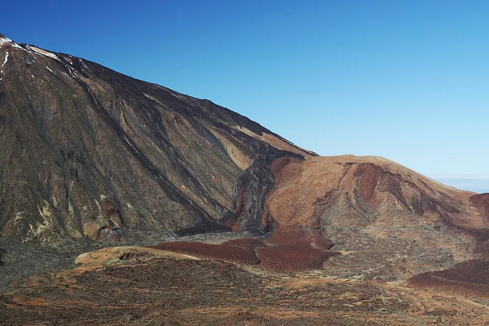
Caldera day tour without lift
Caldera day tour without lift
Pickup options cover the north, south and metropolitan area. This trip stays at road level.
From $57Read more
See dates and availability→Before you go
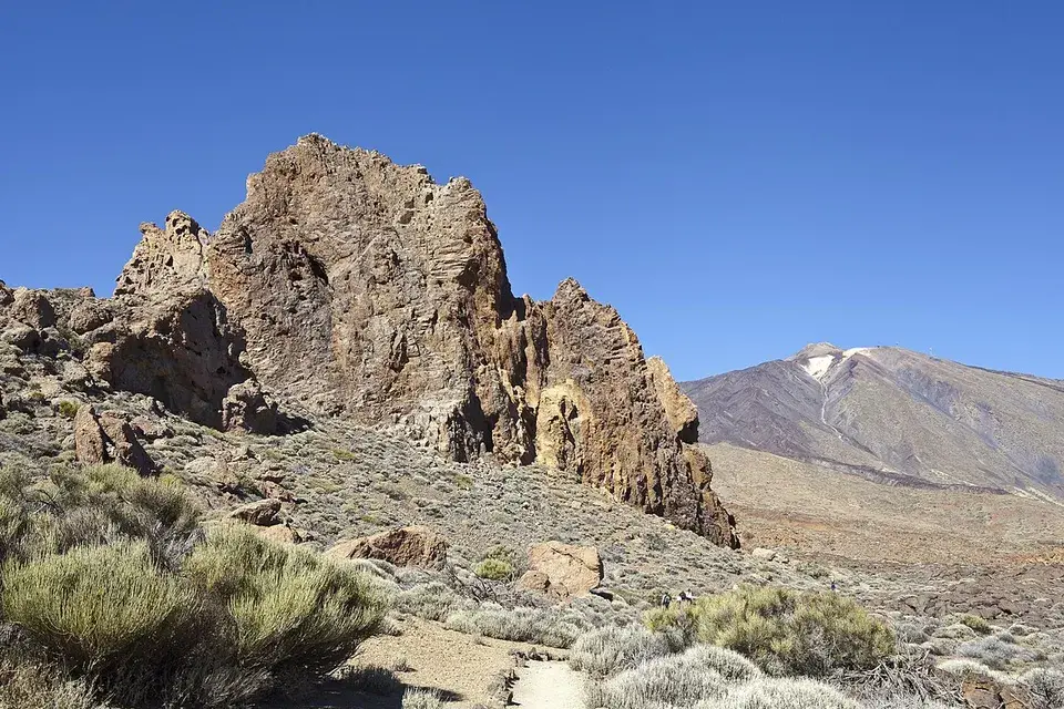
A loop from La Ruleta with a shorter way out
These tours stop at Roques de García. Use a self-guided visit if you want time for the full loop.
We may earn a commission if you book through these links, at no extra cost to you.
01
Caldera day tour without lift
Pickup options cover the north, south and metropolitan area. This trip stays at road level.
From $57Read more
See dates and availability→02
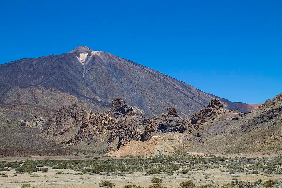
South Tenerife park minivan
The itinerary passes volcanic country, including the Pico Viejo lava field, and stays below the cable car.
From $77
See dates and availability→03
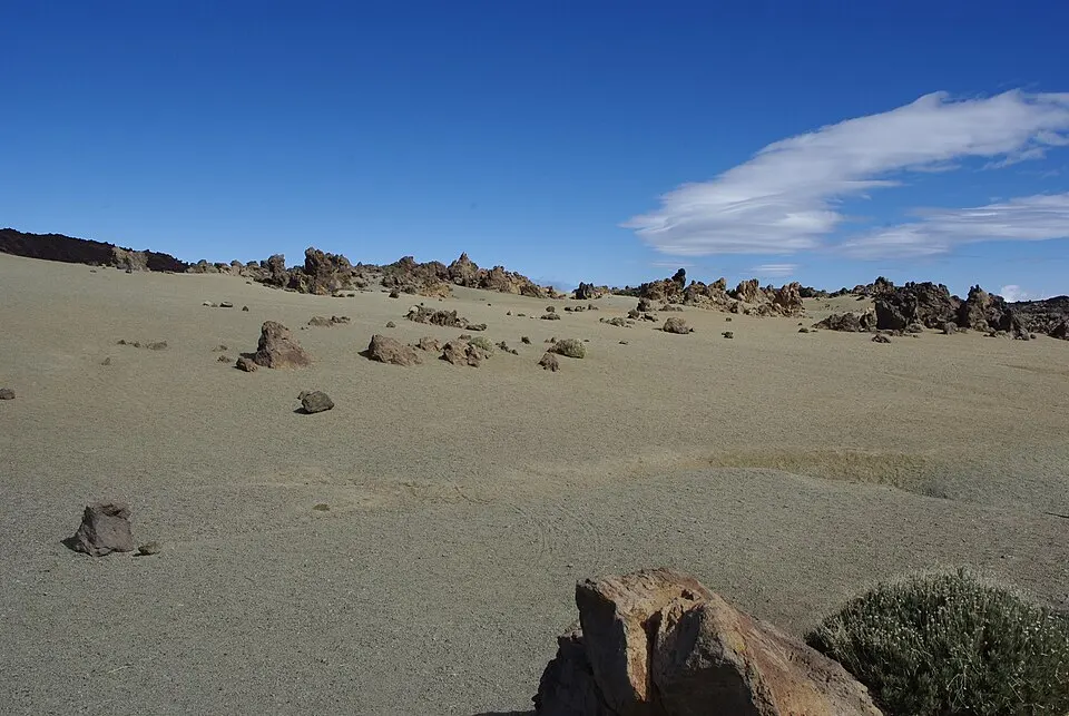
Teide, Roques and north Tenerife
The outing covers several parts of Tenerife in a day. Choose a shorter park tour for more flexibility.
From $64
See dates and availability→The road runs between the area of the Parador and the Roques. Use a signed place to stop and get to La Ruleta. At the lookout you can take in the ridge in front of you before committing to a walk. Roque Cinchado is one individual formation among a line of ridges and towers. The first portion puts you in a position to see the upper part of that ridge against Teide. If the ground or the wind is awkward for your group, even a short visit gives you a perspective on the rocks.
| Item | Published information |
|---|---|
| PNT 03 distance1≠ | 3.6 km by the park; 3.5 km by Tenerife tourism |
| PNT 03 walking time2 | ~2 hours |
| Accessible linear section3 | 0.21 km each way, using the same track back |
| Short section start3 | La Ruleta lookout |
The accessible stretch uses the same track outward and back. Tenerife tourism lists it as a linear route. The full walk keeps going and makes a real change in height, so people on it need to be able to climb back to the lookout. The park and tourism sheets differ slightly in their distances. Allow time for the park’s full route if you want an afternoon stop afterwards. Footing and stops to look at the rock are likely to affect the length of the trip more than the published difference.
From the high part, you can often see the cone behind the Roques. When the trail goes down, the formations stand above you and the shape of Las Cañadas is more apparent. The lower portion gives you a view towards the open flat of Ucanca. The rock in the basin and the steeper walls far across it make more sense when you can see both from the same place.
Stay on PNT 03 at junctions. Other tracks branch away into terrain managed under their own rules. Look at the official route sheet before setting off and use the current directions at the trail. Take water and layers so you can stop outside for the time you have allowed. If visibility drops or you reach steep ground with someone who cannot comfortably come back up, turn around.
Walkers at very different paces can share the beginning. Agree on a meeting point near La Ruleta or the Cañada Blanca centre and a time that works for anyone waiting. Check the centre hours if you need a break indoors. On the park bus, note the stop on the correct side for your coast and save the last departure. At a short visit there is value in staying near the main stop and taking time with the landscape you can see.
Driving gives you the choice of adding Llano de Ucanca after the loop, or returning to a closer viewpoint if rain is coming. Read the road-level itinerary to compare, and use the parking guide if your stop is busy. A packed car park changes the time you have on your feet. Have a named alternative before you join a slow-moving queue.
Start at the overlook even if you intend to walk the full circuit. It gives you the view of the lower plain and lets you see how far below the road the route goes. Look to the line of rocks in the foreground and identify the narrow body and broader top of Roque Cinchado. Follow the path around the near side as far as the designated area. A group with mixed walking abilities can use this first stretch together before deciding whether to continue.
The short option is an out-and-back on the accessible segment. The park gives this its own route description and shows the return to the viewpoint. You can use the photographs and the slope of the ground in the official description to decide if it suits your party. If you stop at the accessible endpoint, you see the high side of the park without taking on the climb out of the lower basin. Leave time to return to the actual bus stop or the place you parked.
The full circuit goes farther along the formations before descending. Looking up from the lower section gives scale to the rocks that is hard to judge from the lookout. La Catedral is one of the formations seen from that side of the line. The reason to keep a margin at the end is the uphill return to La Ruleta. Its direction may feel less demanding when you first look down from the road. Read the local signs for temporary closures and the official direction, then judge the walking time for the slowest member of your party.
Roques de García and the Cañada Blanca centre are close enough to plan together, with access on different sides of TF-21. Follow the marked pedestrian route between them and check for traffic when crossing. Choose a meeting point if your group splits between the centre and the loop. If you are collecting someone by car, make it a point you can reach without blocking the pull-in.
When you arrive by bus, check the Parador stop on the correct line and its return direction. The northbound and southbound services have limited downhill departures. Give yourself time for the last climb, for the crossing, and to get to the waiting area. If you have time for just one part of the visit, use the short walk near the overlook or the visitor centre. Light, cloud and opening hours can help choose between them.
The lower section gives a close view of the rock and the floor of the caldera. It also gives you less access to shade and to the services by the road. Bring water and footwear that works on volcanic grit, and use layers that can be taken off during the climb back. Look at the formations close to the trail if clouds hide the summit. Avoid extending the walk onto any stretch without signs. If the paths are wet or iced and you cannot keep stable footing, turn back while you still have the easier return.
At the end, compare the towers from the overlook with the side you have walked. The upright rock shapes separate from each other as you move through the route. This is what makes the loop different from a photo stop at the same formations. For a second perspective without more climbing, look across Llano de Ucanca from an open signed pull-off on the road out.
Good to know
The ordinary path and the accessible section have no routine reservation requirement. Read the park's current trail alerts.
Yes. The short path from La Ruleta takes you to a view of the formation.
The full route crosses rough ground and climbs. Check the shorter signed section for the surface your buggy can handle.
Cañada Blanca visitor centre is near the Parador opposite the Roques area.
Look for the Parador stop in the current park timetable and check the departure back after the whole walk.
More of the guide
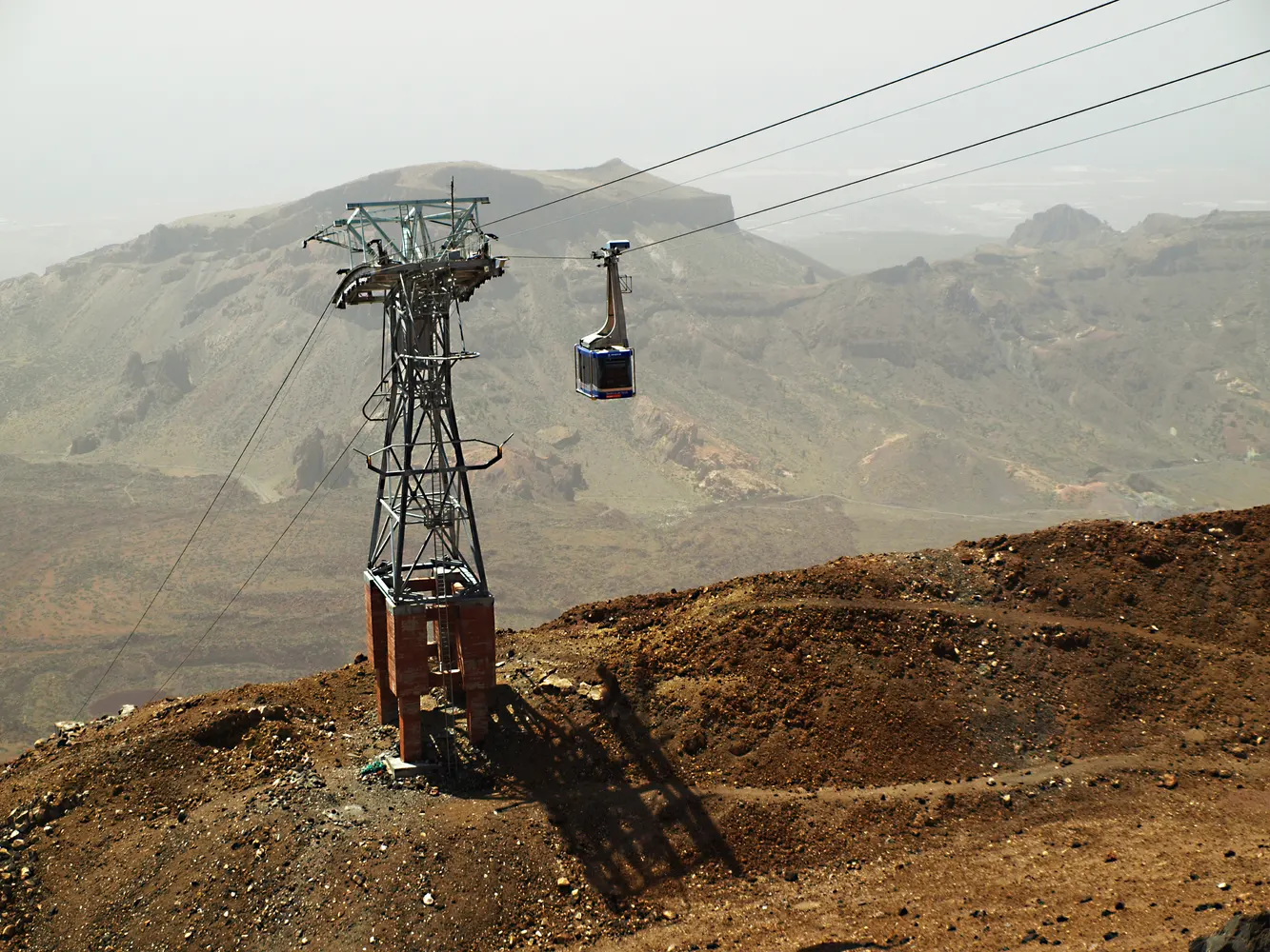
A short Roques route and adapted viewpoints at road level
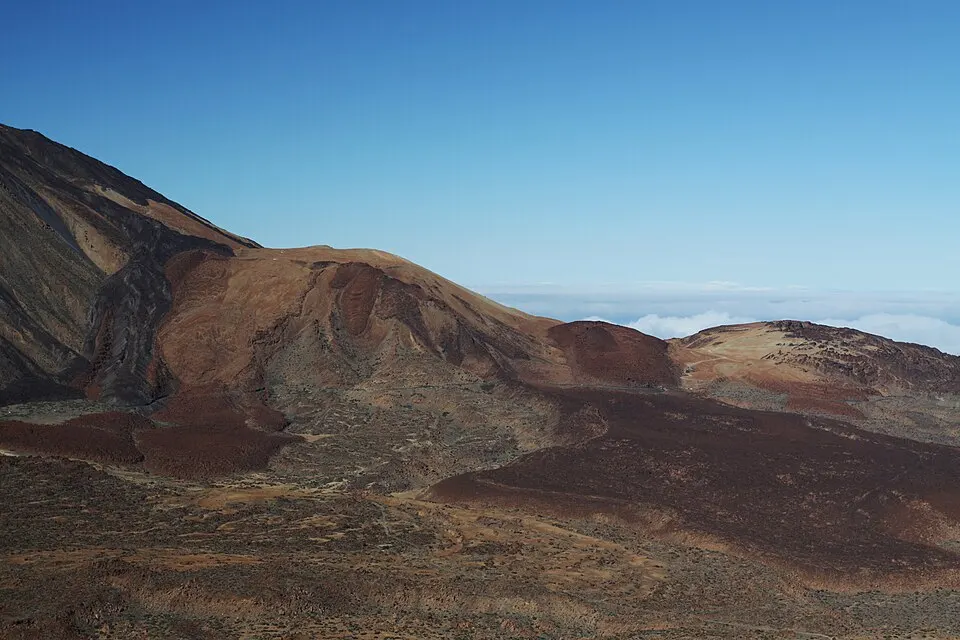
El Portillo, Cañada Blanca, Juan Évora and La Orotava
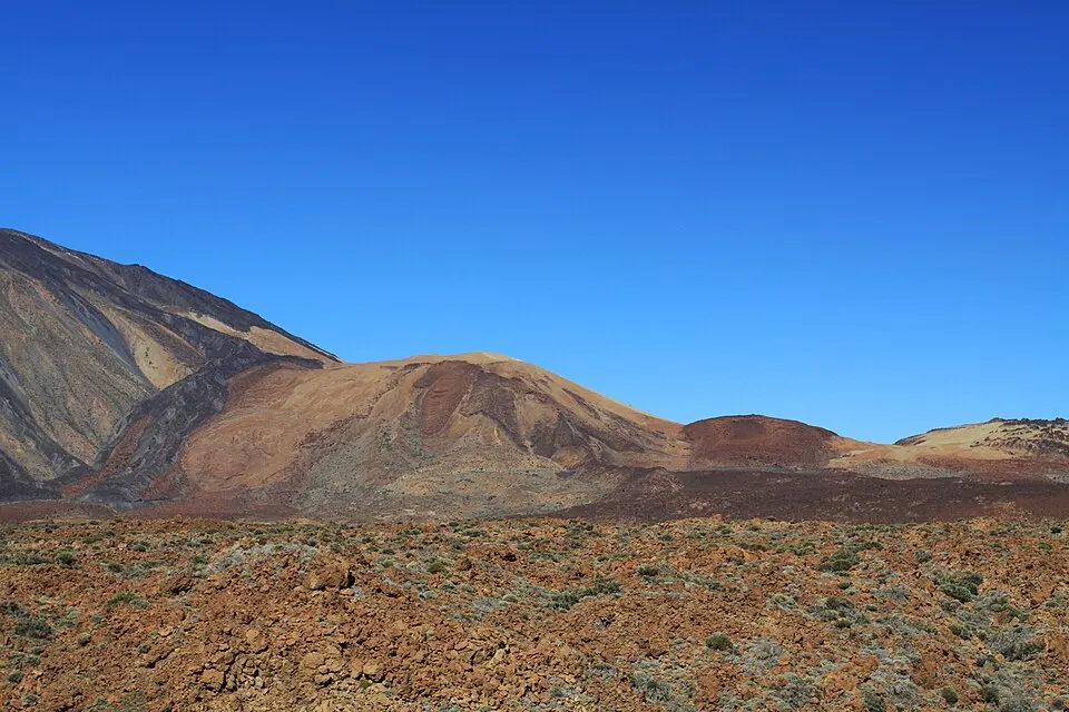
See Las Cañadas, Roques de García and the volcanic basin
3 picks · from $57
See tours