01
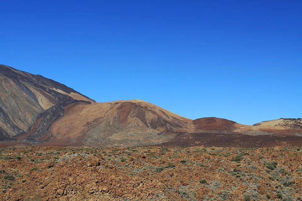
Guided on-foot summit hike
Guided on-foot summit hike
The listing prices the descent by cable car separately and describes a 20 km hiking day when the lift closes.
From $210Read more
See dates and availability→Before you go
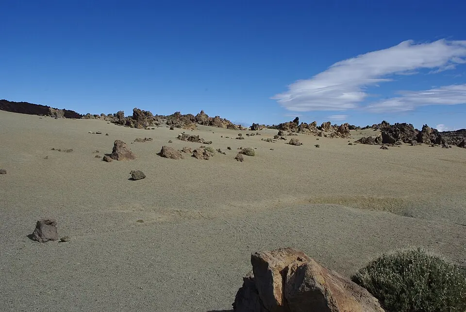
Walk from TF-21 to La Rambleta and the upper trails
Two trips climb from the road. The third offers Montaña Blanca as a longer descent from the summit area.
We may earn a commission if you book through these links, at no extra cost to you.
01
Guided on-foot summit hike
The listing prices the descent by cable car separately and describes a 20 km hiking day when the lift closes.
From $210Read more
See dates and availability→02
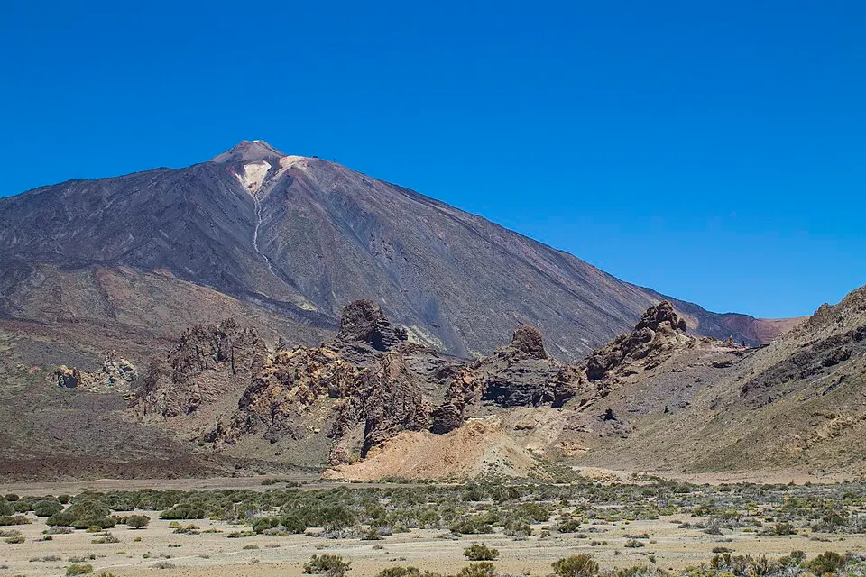
Sunrise hike and morning summit
Watch sunrise from the slope and reach the summit later in the morning. The optional descent lift and south transfer cost extra.
From $218Read more
See dates and availability→03
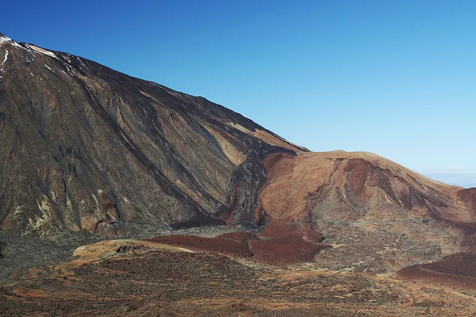
Guided summit and descent choice
Choose the long descent via Montaña Blanca or the separate cable car descent. Select the Montaña Blanca option to walk that route.
From $187
See dates and availability→Montaña Blanca starts at a signed trailhead on TF-21. If you navigate merely to the cable car, you end at the wrong place. The PNT 07 route starts along a broad track set into the light-coloured ground, goes past the rounded Huevos del Teide and climbs towards the refuge. It finishes on the upper mountain at La Rambleta. Trace both ends on the national park trail map. If you park at the trailhead and ride down from the top, you finish at the cable car base. Arrange collection or a lawful transport connection before starting. Walking along a busy highland road is a poor way to discover that the two places are separate.
| Item | Published information |
|---|---|
| PNT 07 to La Rambleta1✓ | About 8.2 km, 5 hours 30 minutes one way |
| PNT 10 extension2 | About 0.69 km, 45 minutes uphill |
| Separate bookings3 | PNT 07 and PNT 10 |
| Adult descent only4≠ | €24 tariff, €23 FAQ |
The high ground is visible from much of the approach. That can make the steep portion look close for a long time. The lower track through the pale deposits lets you settle into a pace before the climb steepens. Above the big rounded lava blocks the trail narrows and the climb becomes much more sustained. Keep the group together and consider whether anyone already needs longer stops. Progress in the open lower section tells you little about the group’s pace above Altavista.
On the lower track, use the junctions and numbered signs to make sure you stay with PNT 07. Some of the pale landscape is visible from the road and there are other highland paths nearby. Stay on the permitted trail throughout the ascent. The regular trail brings you near the Huevos del Teide, larger rounded volcanic blocks that stand apart from the surrounding pale material. The track then gives way to ground where the uphill effort becomes the most important part of the day.
Altavista lies on the upper stretch. It is a good landmark for deciding whether you can complete the rest of the climb and make a comfortable descent. Carry supplies for the approach. Refuge services and guest access depend on whether you have booked a bed. In the next section the terrain around the old lava is markedly rougher than the broad track below. Watch signs for La Fortaleza and the upper station as the path reaches the high junctions. The park’s approach time stops at La Rambleta. The separate summit path adds an uphill walk and a return to the upper station. The resort departure, trailhead, La Rambleta and summit are different points.
Use the summit booking guide for PNT 10. An approach reservation does not give you an arbitrary hour at the last checkpoint. A slot that looks good for a lift-assisted visit can be hard to reach on foot. Budget for your pace, stops and any checks along the way. Walking the full out-and-back requires enough time and energy after the summit to cover the rough upper terrain again. Keep permission and ID within reach instead of at the bottom of a large pack.
If the top is out of reach on the day, La Rambleta can still be the high point of the outing. You have a view over the basin and, if signs and status permit, other open paths near the station. Reconsider whether you have enough time for an extra viewpoint before taking the turn. On a route this long, saving your effort for the descent can matter more than adding one more stop above the cone.
The lift operator describes a descent purchase at the top when the lift runs. The operator publishes current cabin service and the seasonal time of the last descent separately. A successful purchase still leaves you at a different road access point from your car. An out-and-back on PNT 07 can be simpler to organise if the access rules for the date match it, but the downward effort and hours should be in the original plan. Someone confident only of walking up is relying on a system that can stop because of wind.
Pico Viejo is a distinct long route requiring its own planning, access and road collection. Its junction at the top does not turn it into a good unplanned escape. Ill-fitting weather, footwear or timing affects the longer descent as much as the ascent. Follow any instructions from the park or lift staff if an incident develops, and do not move onto a closed trail because a ticket is no longer usable.
The dedicated trailhead space is limited. Look at parking options before the morning of the hike and agree on a legal backup. If someone is dropping you, make sure they can identify both the signed departure point and the return end. A park closure may affect the point from which they can collect you. Prepare a way to contact one another and download the maps and reservations beforehand.
Use the park incident and equipment information for the chosen date. A published estimate assumes a route that is open and usable. A clear lower track can be followed by an icy section near the refuge or on the rocks above it. Leave room in your schedule and carry the equipment the active rules require. Keep an early turnaround in mind. The appropriate point is wherever the remaining time, footing or the group’s condition no longer allows a dependable return.
On the first part of PNT 07, the pale track makes it easy to go out faster than you have planned. Leave enough time for breaks and look at the direction signs, particularly around the junctions at Montaña Blanca. The dark, rounded blocks known as the Huevos del Teide stand out against the light ground. They make a memorable landmark early in the day. The upper mountain is still ahead. Use the first section to judge how the group is coping, and decide whether the whole group wants to continue past the point where the route becomes a steeper climb.
Near Altavista, compare the time you have taken with the weather and your descent plan. Stopping near the refuge during a hike is different from overnight use. Carry what you need for the full outing and keep to the access terms. Write down a turnaround time for the upper portion even if the forecast looks good. The branch by the upper trails leads to La Rambleta and enables a separate summit decision only for hikers with PNT 10 access in the right window.
Near La Rambleta, the open routes and the last operating cabin determine which descent is still possible. The lift returns to its own lower station. If your driver is waiting at Montaña Blanca, agree how to meet in advance. A descent in the cabin does not take you back to the official trailhead. If you need to walk down, choose the authorised route you budgeted time and equipment for. Give a driver the name and side of the island for your exit. The western exit after walking past Pico Viejo is on another stretch of TF-38.
A visitor who wants to see the volcanic boulders can choose a walk that returns before the long upper section, provided the exact stretch is open and any required trail access is in place. That can leave a different group enough time to finish its longer route and gives both groups a meeting point below. The park’s trail notices identify restricted sections by route number, including on a shortened out-and-back walk. At the roadside trailhead, read any temporary notices. The park route sheet shows where PNT 07 leaves its own car park on TF-21.
If the upper trails close, a guide can only use open routes. The revised turnaround and return depend on the booked itinerary. On the published on-foot trip, the cable car descent costs extra, and the itinerary describes a walking return when the lift closes. Those details determine what footwear, time and energy you need even when the intended summit cannot go ahead.
Good to know
About 5 hours 30 minutes to La Rambleta by the park estimate. Add any summit extension and the whole descent.
PNT 07 starts at its own signed TF-21 trailhead. Park and plan collection at the right one.
The approach has its own PNT 07 booking. PNT 10 is for the last climb from La Rambleta.
The direct operator describes buying descent only with a QR code at the upper station while it is operating.
It is a landmark on the ascent. A bed requires a reservation. Carry your supplies for the climb even if you plan to sleep at the refuge.
More of the guide
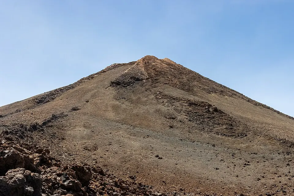
Separate reservations for the last climb above La Rambleta
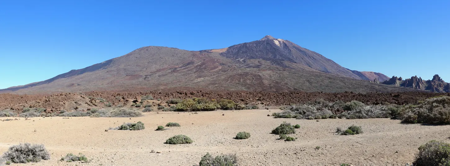
A long route to the west road from La Rambleta
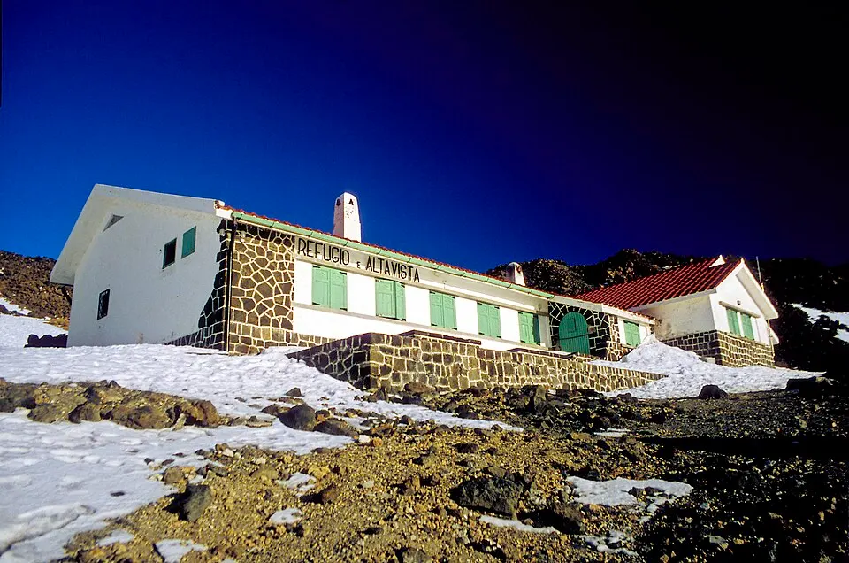
A booked night between Montaña Blanca and La Rambleta
3 picks · from $187
See tours