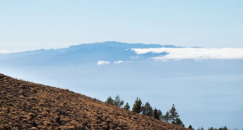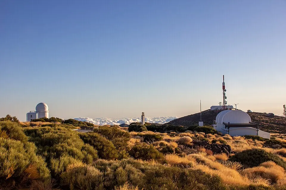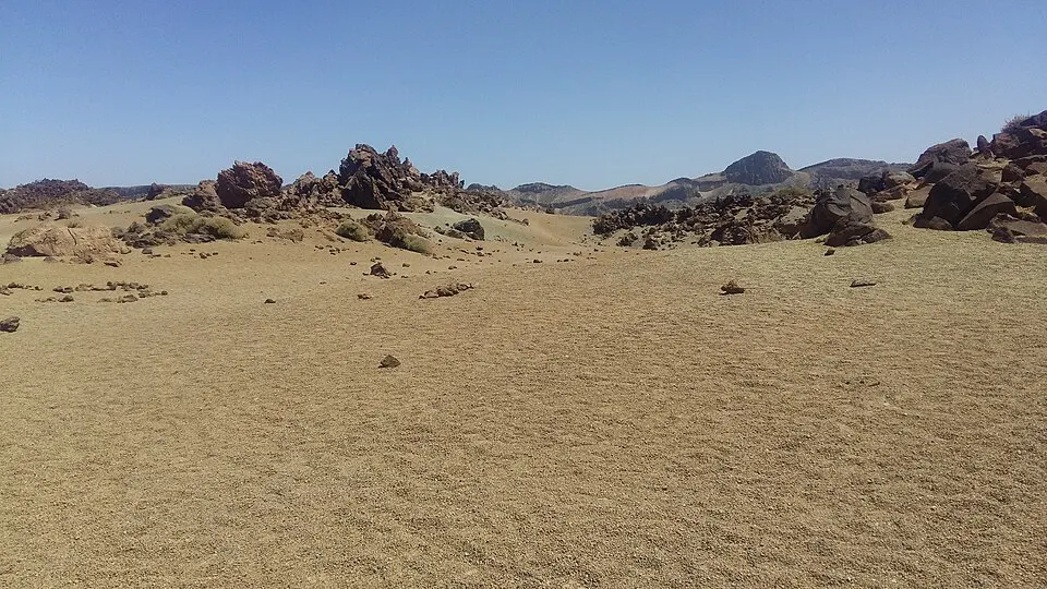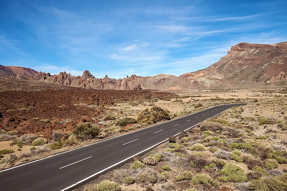
Northern approach via El Portillo
From La Orotava, TF-21 climbs through the forest to El Portillo on Teide’s northern approach. It works well for the visitors’ centre and for a route south and west across the caldera. From Puerto de la Cruz, the northern approach joins TF-21 through La Orotava and reaches El Portillo before the central caldera. Once at El Portillo you can go on towards Montaña Blanca and the cable car along the same main road through the park. Use the road signs and designated spaces at the viewpoints.
| Item | Published information |
|---|---|
| North approach | TF-21 from La Orotava to El Portillo, 31 km |
| East approach | TF-24 via La Esperanza to El Portillo, 30 km from La Laguna |
| South approach | TF-21 via Vilaflor to Boca Tauce |
| West approach | TF-38 via Chío to Boca Tauce |
Pick an approach road
- Put a name into the route planner. Use the actual attraction or trailhead, plus the road approach you want.
- Way home. A loop makes sense when both routes are open and you have time for the second descent, including any driving after dark.
- Road status. The park posts affected segments by road number. Keep the route for both open approaches on your phone in case coverage drops.
Eastern approach via the ridge
Take TF-24 from the La Laguna and La Esperanza side if you want the high ridge views or an appointment at Teide Observatory. The observatory is on a side road with its own arrival instructions. You can continue from the ridge to the park and link up around El Portillo. Make the fixed visit the anchor, then decide which viewpoints fit before and after it. The road to the observatory, the upper station of the lift and the summit take completely different approaches.
Approaches via Boca Tauce
TF-21 climbs from the southern side through Vilaflor. It enters the park near Boca Tauce. TF-38 comes from Chío and meets it on the west side. That route is useful if you want a look at Pico Viejo or the Narices del Teide area before moving farther into the basin. In a road-level loop, note whether you have room to add a return through the north or want to return the same way. A route that is easy to drive out in full daylight may take more attention on the way back after sunset.
Park where the outing starts
The cable car turn, the Montaña Blanca trailhead and parking, and La Ruleta for Roques are separate stops along the drive. Use the stop named in your booking or give that name to the person collecting you. A space in the wrong area can put a long gap between you and the path you meant to take. If a pull-out is full, drive on to another designated parking area.
Be familiar with the weather and closure checks. A notice may affect a named section of the road, and directions given on site apply to that visit. If the road from your side remains open but the way out over a different pass closes, shorten the loop. Travelling as a passenger on the park bus avoids driving, with the tradeoff of a fixed finish and fewer places to stop. A one-day itinerary compares the road order of the main stops.
Plan the stops
From the north, TF-21 climbs through the La Orotava side towards El Portillo. A stop there gives an introduction before the road reaches the central caldera. A north-to-south day can continue by the cable car and Roques de García and finish through Boca Tauce towards Vilaflor. A through route depends on both roads remaining open. A closure on the far side of the caldera can require a return by your approach. If only the northern road stays open, use a shorter out-and-back without a fixed deadline farther south.
The southern TF-21 rises through Vilaflor. Visitors coming in that way meet the sector around Boca Tauce before reaching the well-known sights in the caldera. Juan Évora is near the meeting of TF-21 and TF-38 and can be visited without driving as far as the cable-car base. The Roques and the Parador make another useful stop. If your goal is the lower station for a lift booking, drive past the other stops first when the road is open and save them for the return.
From the southwest, TF-38 comes from Chío and reaches the junction at Boca Tauce. Look for the westward viewpoints on that road if your visit is mainly about the volcanic terrain. Narices del Teide relates to the dark lava from the 1798 eruption. On a through drive, TF-38 and the southern TF-21 share the caldera stretch after the junction. Agree on a precise destination before following a general map pin for the park.
The eastern approach uses TF-24 and comes from the La Esperanza side. Teide Observatory sits off TF-24 at Izaña. The booked visit gives directions to its public entrance. If you are visiting the caldera afterwards, El Portillo helps orient you at the northern end. The adapted outdoor stops on TF-24 give a short alternative when that is the road you are already using.
Parking and your return
Treat the cable-car base, the trailhead, and La Ruleta as separate destinations on the route. A pin for the summit can be worse than useless when collecting a person who walked down from it. Use the signed name of the trail exit or lift base. Several stops are spread along the same highway and can look close on a small map. Set the driver’s turnaround place and time before the passengers separate.
On an evening departure, familiarise yourself with the branch from your viewpoint back to the main highway while light remains. A closure or barrier can change which way you can leave after a session. Read road notices before beginning any alternative approach. Use the route you know is open and give yourself enough daylight to pass through new territory when possible. Pack supplies before leaving the coast or village if you need them at the roadside.
Map of the park stops
- Boca Tauce viewpoint. South and west roads join nearby. source
- La Ruleta and Roques de García. Start of the PNT 03 loop and the shorter accessible section. source
- Parador de Las Cañadas. Park hotel by Cañada Blanca and the Roques de García stop. source
- Lower cable car station. Use the signed access road from TF-21. source
- Montaña Blanca trailhead area (approximate location). PNT 07 begins near TF-21. The small roadside parking area fills. source
- Minas de San José viewpoint. Look over the pale deposits from the signed stop. source
- El Portillo visitor centre. Northern visitor centre on the road into the park. source
- Teide Observatory junction. Use your booking directions for the exact visitor meeting point. source
- Teide summit. Separate permission for PNT 10. source
Map data © OpenStreetMap contributors (ODbL)